

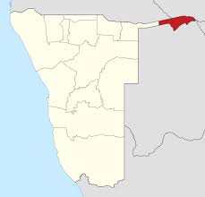
The Caprivi Strip is perhaps one of the least visited parts of Namibia but at the same time in a curious way that catches the eye. It is an arm of land of about 400 kilometers in area and only 25 in the south on the map of Namibia, where the black population predominates, much of which moved during the twentieth century due to apartheid and genocide that lived the country.
It is located in the northeastern part of the country and borders Angola, Zimbabwe, Zambia and Botswana. At the western end is the city of Rundu and at the opposite end is the most populous city in the area, Katima Mulilo. Four of Africa’s most important rivers flow through this region: the Kavango, the Chobe, the Zambezi and the Cuando, transforming the landscape dramatically into a green oasis.
The history of the Caprivi Strip has its origins, like much of the countries of the African continent, in the colonial disputes of the European powers. In 1890, a treaty of territorial exchange was signed between the Germans and the English. The former wanted to unite the colony of West Africa (known as present-day Namibia) and Tanganyika (known as present-day Tanzania) and wanted to do so via the Zambezi River, whose access was in the hands of the English. These, as a currency of exchange, demanded the island of Zanzibar, and the German territory of present-day Kenya, with the aim of building a railway line linking Uganda with Mombasa, with access to the sea. The Germans accepted and reached this territory known as Caprivi and which reached the Zambezi River.
The play, however, went wrong for them because the Zambezi River was unseaworthy. The Germans were unaware of the existence of Victoria Falls, a few miles away and discovered by English explorer David Livingstone in 1855, which made it impossible for them to continue downstream with the goal of reaching Tanzania. They had lost the island of Zanzibar and an important part of present-day Kenya, but they had a new arm of territory that was Caprivi and has continued to be part of Namibia to this day.
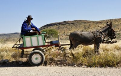
The high population density of this area is 16,000. Compared to the rest of Namibia, where it’s hard to see people, this part is probably the most beautiful part if you want to meet people and soak up their culture. In addition, many parts of the Caprivi strip are being declared areas or nature reserves, and there is beginning to be tourist activity in the area, with a few interesting proposals.
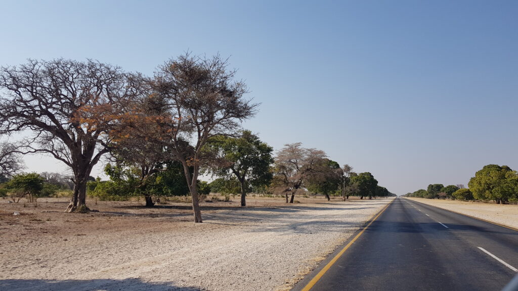
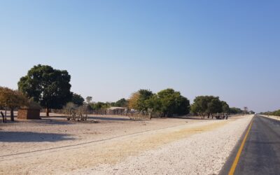
There are a lot of people passing by the B8 road that crosses Caprivi towards Kasane, Botswana, but it does not stop in this area. About 900 km straight along an asphalt road with all the traditional villages on the left and right that allow you to see an Africa that for us is more authentic, more populated and at the same time with a warmer welcome.
What to visit in the Caprivi Strip?
We had planned a route of about 3 days through this area, but chance made us change our plans for an experience that has marked us from that moment until now. If you want to know more about this fantastic experience, click here.
However, it allowed us to get to know a little bit of this area of Namibia, which we are sure to visit again. Here are the points we visited:
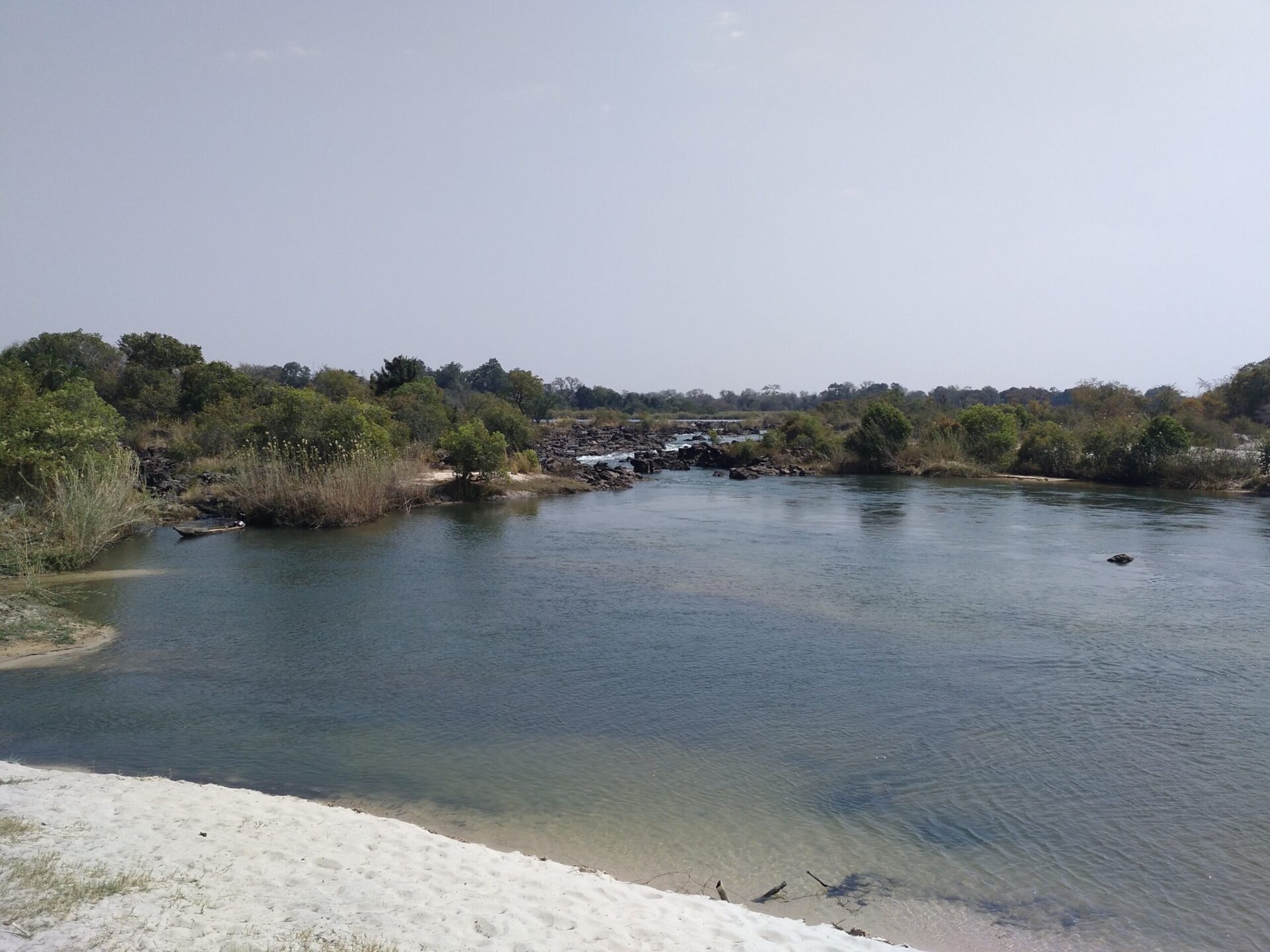
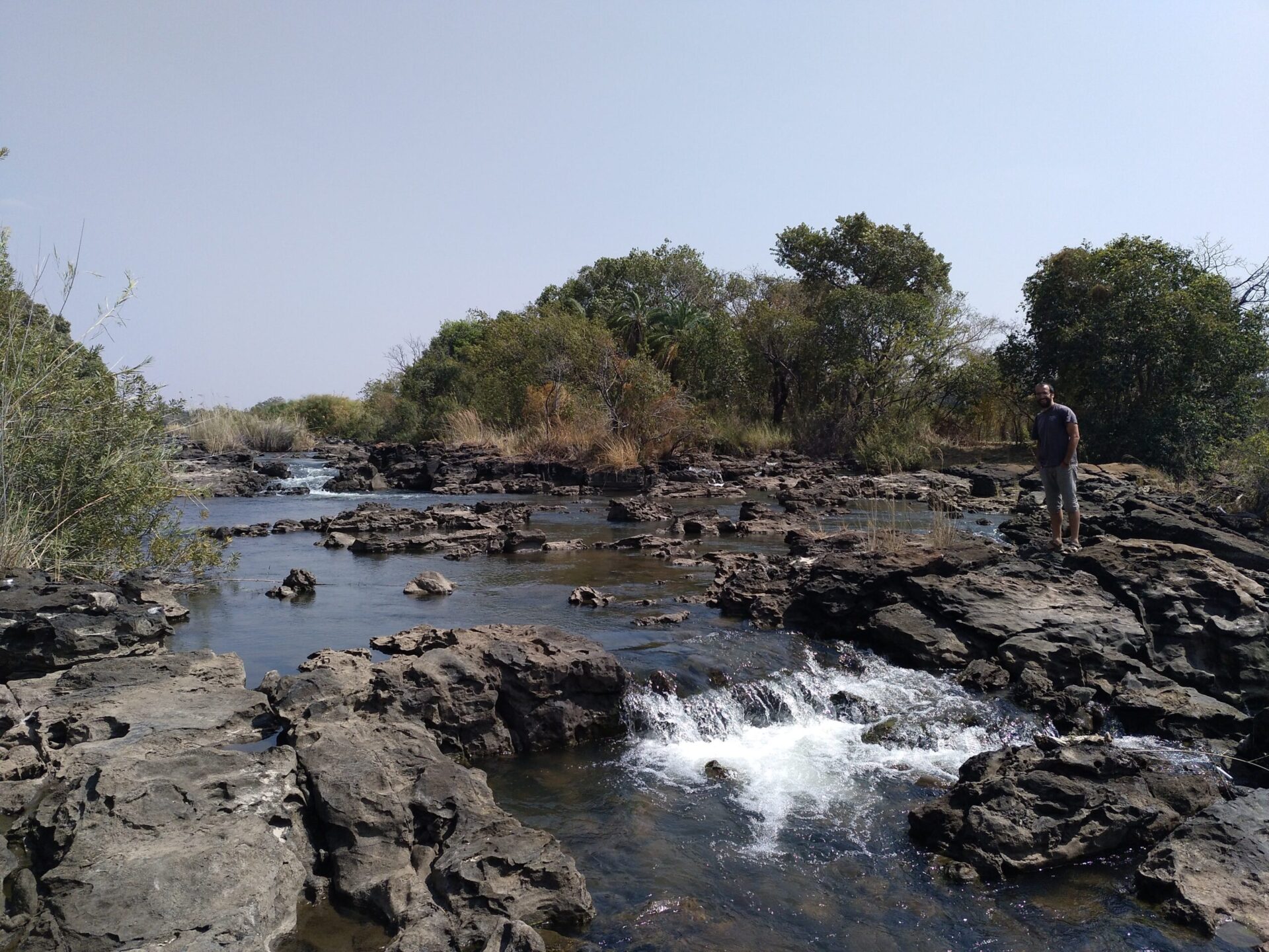
–POPA FALLS: don’t expect a spectacular waterfall, they are a series of naturally created waterfalls that form a wide network of river channels in the Kavango River. You can take short walks around and if you want, you have the option of taking a short boat ride. Admission is about 40 NAD / person for tourists and 10 NAD for car. Accommodation is available at Popa Falls Resort, which is run by NWR. We visited them on the way to the Ngepi Camp.
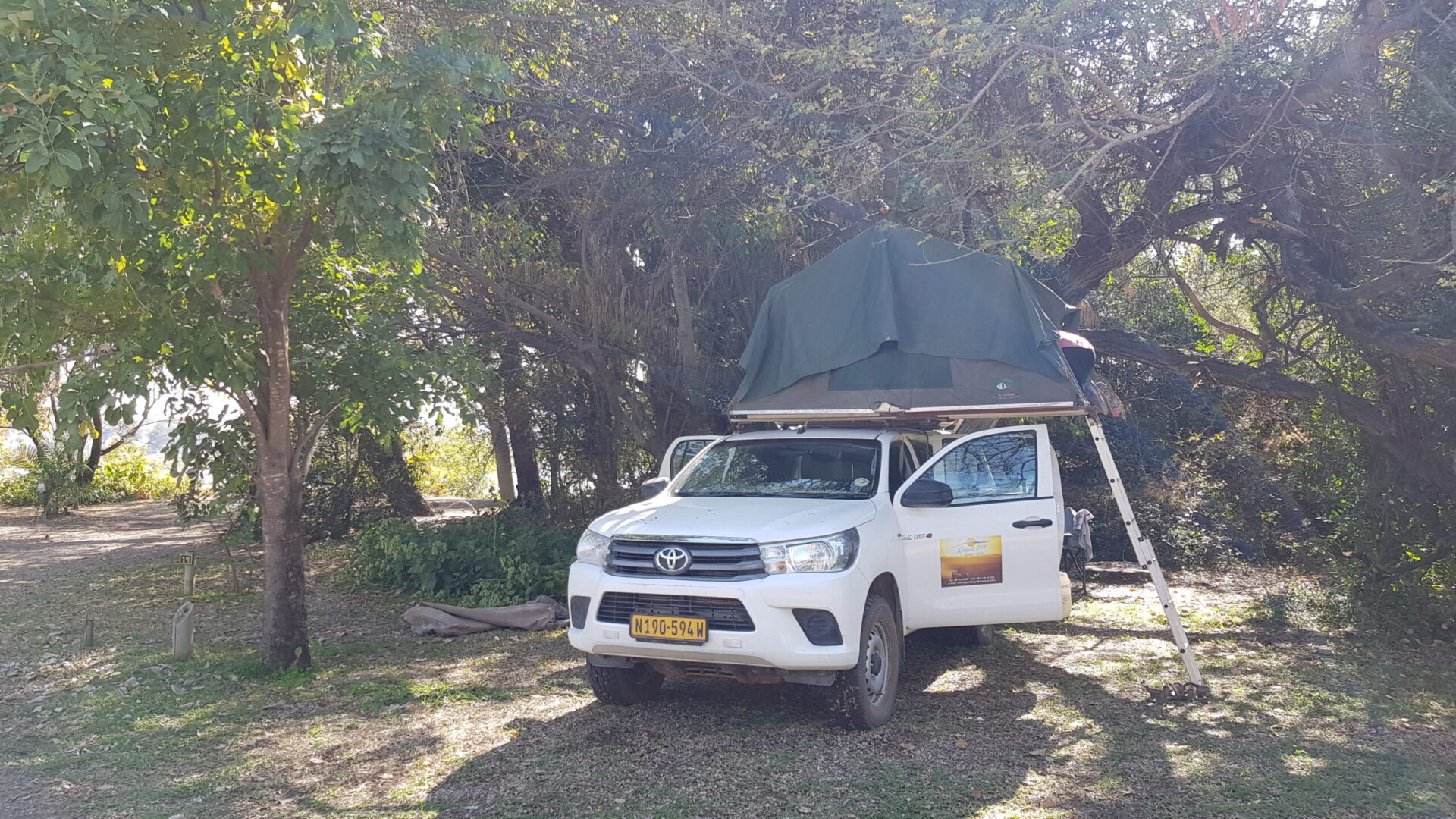
–NGEPI CAMP: is an eco-campsite located next to the Kavango River, which has a camping area but also Tree Houses. They have a nice bar and restaurant by the river, where you can have a beer and see hippos in front of you. There is a curiosity; a protected pool inside the river, where you can swim with crocodiles and hippos that inhabit the Kavango. You have to get there from Divundu, direction Mahango on the D3403 road and after 10 km there is a sign to turn left. Then follow a well-signposted path with plenty of sand. We recommend going there by 4×4. The campsite costs about 150 NAD / pers. They organize 2 hour boat trips to see the fauna of the river for about 200 NAD / pers., Especially you will see hippos up close. To make reservations or view the website, click here.
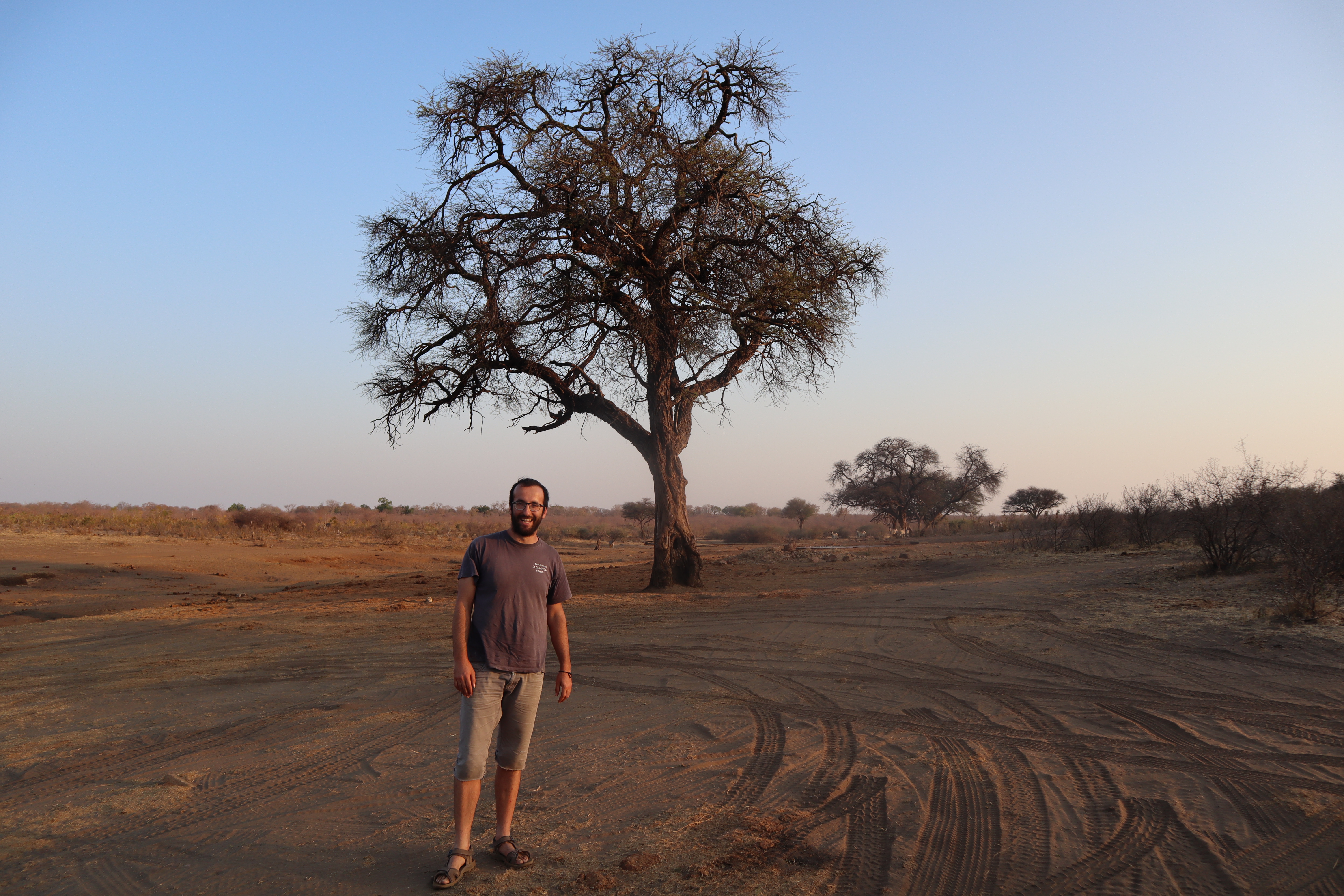
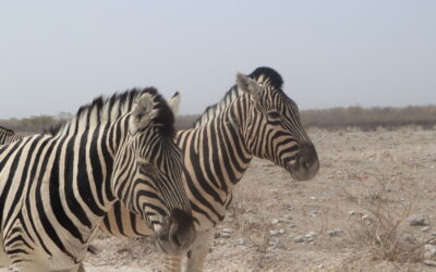
– MAHANGO GAME RESERVE: It is located 10km from Ngepi Camp. It is a small park of about 25,000 hectares divided into two areas. You will need at least 3-4 hours to visit it. Admission costs about 40 NAD / person and 10 NAD per car. The most popular area is the one next to the river. You can see baobabs, some very beautiful and also elephants, hippos, antelopes, Kubus, zebras, giraffes, crocodiles … It is a good park to see buffaloes that are impossible to see in Etosha and if you are a fan of birds, it’s also a good place to see them. Consider that about ⅔ of the bird species found in Namibia, you can spot them in the Mahango (more than 300 species). The condition of the road in the rainy season is very bad, as well as the interior area, which has a lot of sand and the roads require a 4×4 and a gearbox.

0 Comments