


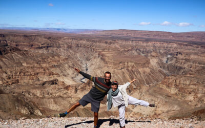
Spitzkoppe is a movie site. A large savannah amidst large stones and an unusual and spectacular landscape. It is the most famous granite mountain in all of Namibia with almost more than 700 million years of history.
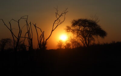
Surrounded by a vast arid expanse, it consists of different rock formations that are very interesting from a geological point of view, forming incredible rocky arches, strangely shaped stones and reddish walls that create a very beautiful landscape during sunset. Perched on one of these rocks, you can feel like you’re Simba or Mufasa in the Lion King movie. It is an area with a lot of history, where we can find different rock art paintings on the rocks that place us between 2,000 and 4,000 years ago and testify to the presence of humanity and the people of San in this very special place in Namibia.

Spitzkoppe is a spectacular place, too, for climbers. In fact, the famous presenter Jesus Calleja made a promotion to Spitzkoppe in the program “Extreme Challenge” which you can see in the following link.
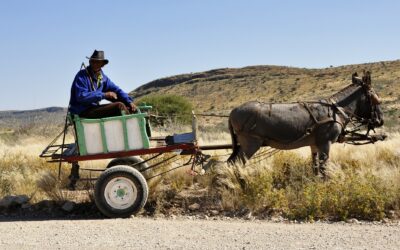
Spitzkoppe is a little-visited natural park managed by a local community in an area that was expropriated in 1964 from a German farmer to encourage the recovery of areas that had once been black, such as the Damara. Today, there is a village of 500 people who make a living from livestock, fossil mining and tourism in Spitzkoppe with the sale of local handicrafts and the public-private management of this natural park.
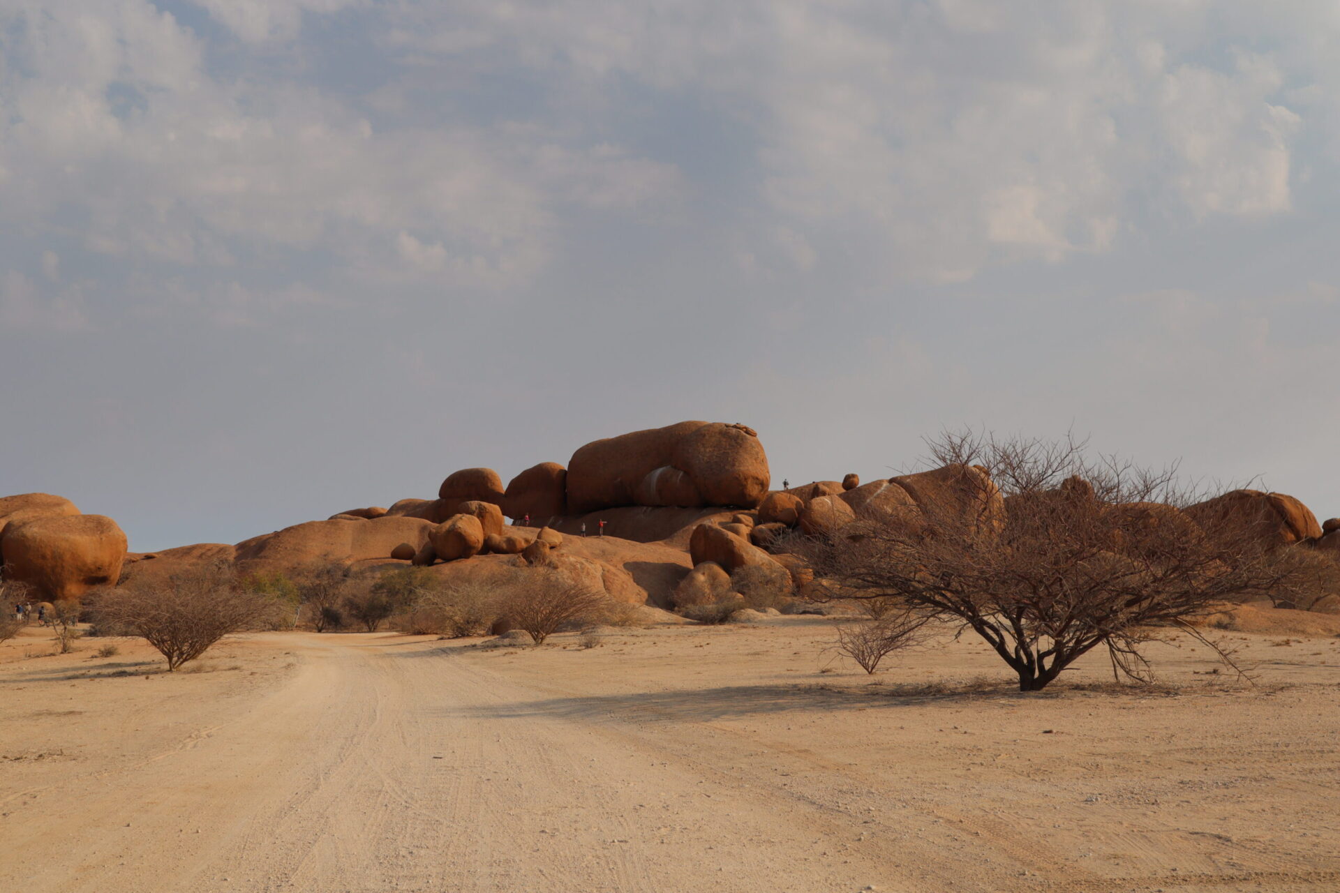
Spitzkoppe is a good place to camp for free, get lost walking through its landscapes but also has a number of hiking trails to do, some can be done freely and others require a guide. At reception you will be informed of the best option to make, depending on your physical condition. We visited the following points of interest:
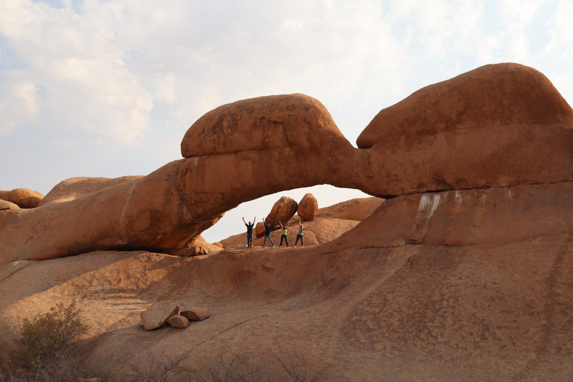
– THE BRIDGE: It is a beautiful stone arch located near camping areas 4 and 7. It allows very artistic photographs in this fantastic landscape.
–ROCK POOL: It is a pool of natural water that forms in a hole in a rock. It’s perfect for bathing on hot days!
–HIKING ROUTES: There are different routes to do in the area, most affordable for all audiences.
+Route 1: Pontok Route. It’s about 4 hours and takes you to the top of Spitzkoppe.
+Route 2: Bushman Circle Route: This is the route we chose. The whole route is about 7 hours, which includes the famous path of the chain, a slightly elevated step that with the help of a chain you go up to the top of everything and then the ground is flat to reach the bottom of this circular route.
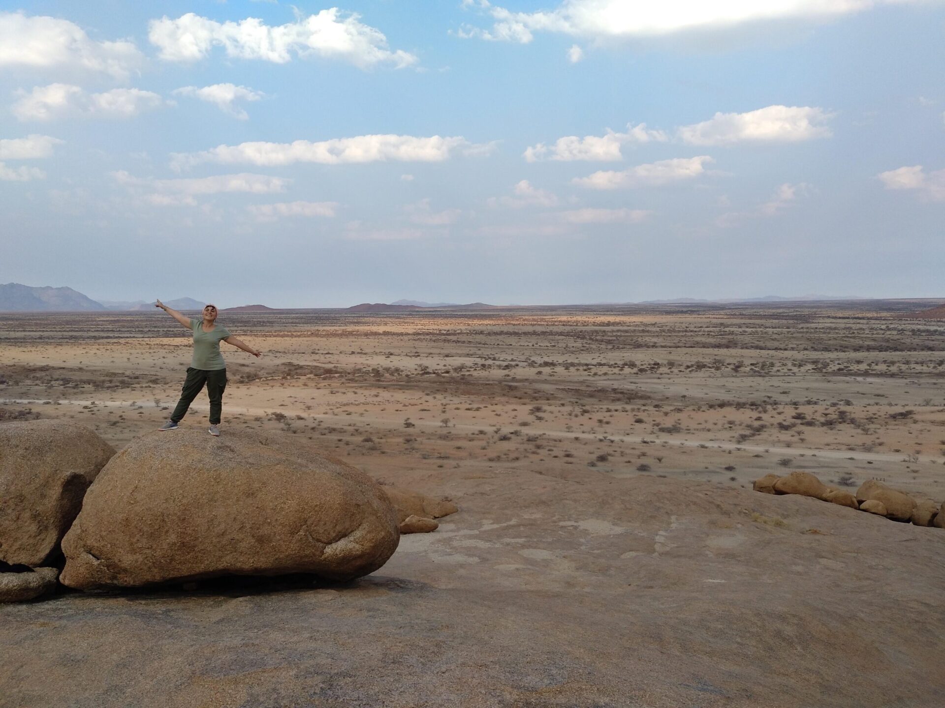
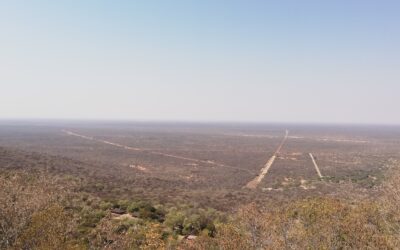
From above, you can see the entire plain surrounding Spitzkoppe. We didn’t do the full route, but we climbed to the top, and saw the fantastic scenery. You can also see the cave paintings made by the San, where you can see different human and animal figures.
+Route 3: Matterhorn Route. It is the most difficult route, about 8 hours, which requires being in very good physical fitness and bringing your own equipment to do some climbing steps. You must be accompanied by a guide.
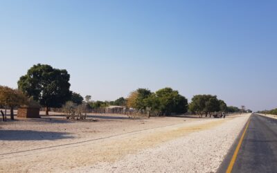
To get there from the Atlantic coast, take the D1918 road from Henties Bay to Usakos, and turn off before reaching Usakos on the left onto the D3716 to reach Spitzkoppe. From Windhoek, we can reach the B1 and then the B2 to Usakos, and follow the same path in reverse for the D1918. From Henties Bay to Spitzkoppe, the route is all gravel and in the middle of a completely lonely and deserted landscape. It takes about 2-3 hours to cover the 100km distance between these two towns.
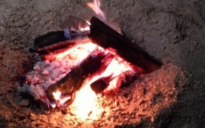
Admission to Spitzkoppe is 80 NAD pp / day plus 80 NAD per vehicle. To sleep, there are different campsites to choose from that are scattered throughout the savannah and granite mountains. It costs 190 NAD per person / night, and there are diferent spectacular spots next to large granite boulders. It is one of the best places to see starry skies at night. Please note that there is no electricity or drinking water, so it is important to be well prepared before visiting Spitzkoppe, a great stop on your tour at Namibia.
0 Comments