In this article, we will explain how to cross from northeast Zambia to South Luangwa. We entered Tunduma through the Tanzanian border, but later we saw that there were very few options to descend directly into the South Luangwa park. The alternative was to go through T2 to Lusaka and then go back through T4, but the large number of kilometers and the lap we did made us rethink this route.
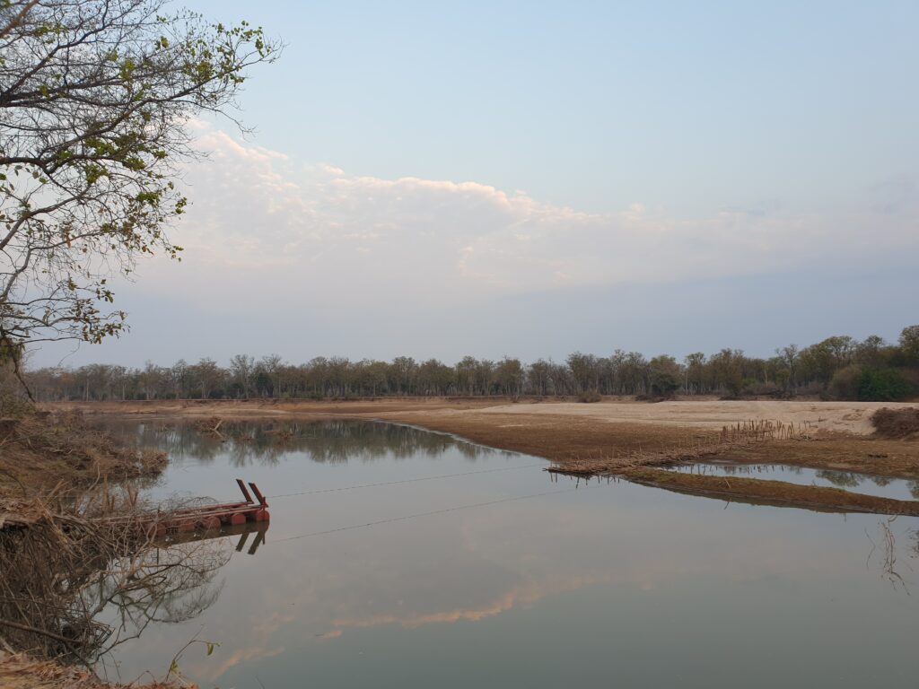
So we look for different ways to get to South Luangwa from the north. The main drawback is the rains that usually take place between December and April. During these months, the waters of the Luangwa River increase in flow making it impossible to cross the river from North to South. On the other hand, during the dry season you can cross it through a pontoon, a temporary bridge made with wooden sticks and where they come for you with a log platform and transport you to the other side of the river by dragging a rope. After this junction, you will be in the southern part and you will only have to travel between dirt roads and traditional villages for the remaining kilometers to Kakumbi, the entrance to South Luangwa.
So, if you want to cross to South Luangwa from the north, the best option we recommend is to cross three national parks: North Luangwa National Park, Luambe National Park and Nsefu Reserve.
North Luangwa NP
If you come from the Tanzanian border with Zambia (Tunduma/Nakonde), you will have to drive on T2 for 315 kilometers until the turnoff to Mano that you will find after the town of Chafilwa. It is very important that you fill up the gasoil tank because until the South Luangwa entrance door you will not find any petrol station. The last petrol station we found was a Total on the Chinsali turnoff, about 107 kilometers from the turnoff to North Luangwa. This initial road is very tiring to do because although it is paved, it is full of holes in the road that makes you have to go very slowly and try to avoid all the potholes.
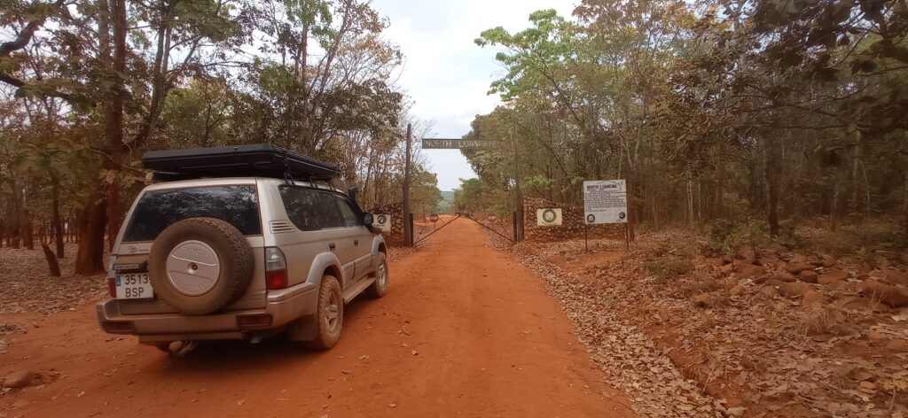
Once you reach the Mano turnoff (North Luangwa NP is also signposted), you will have to drive 40 kilometers on a dirt road until you reach the entrance gate of North Luangwa NP. There you will have to register (you will pay the entrance when you leave) and you will be able to enter the national park. Think that from December to April this park is closed for the rainy season.
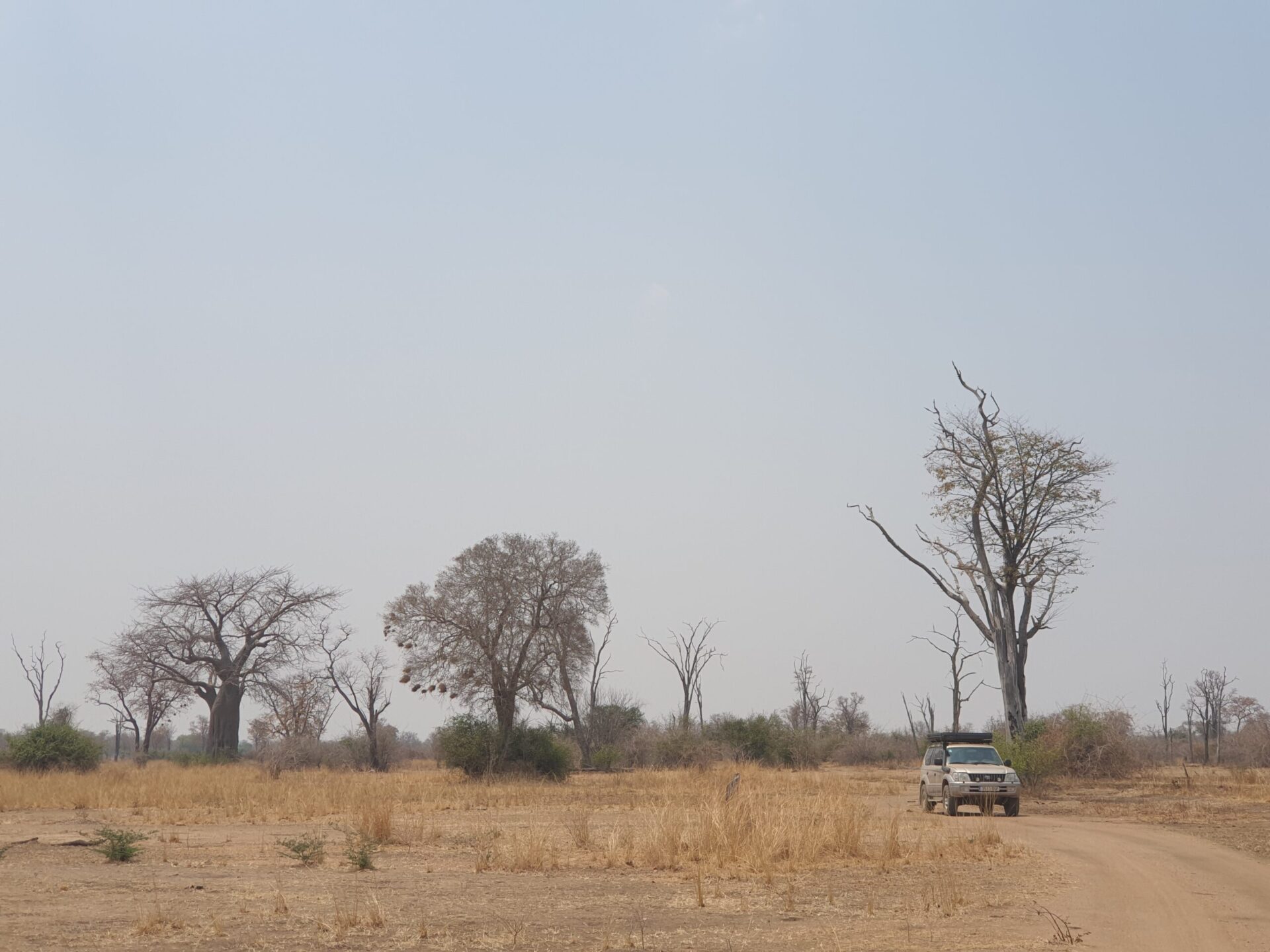
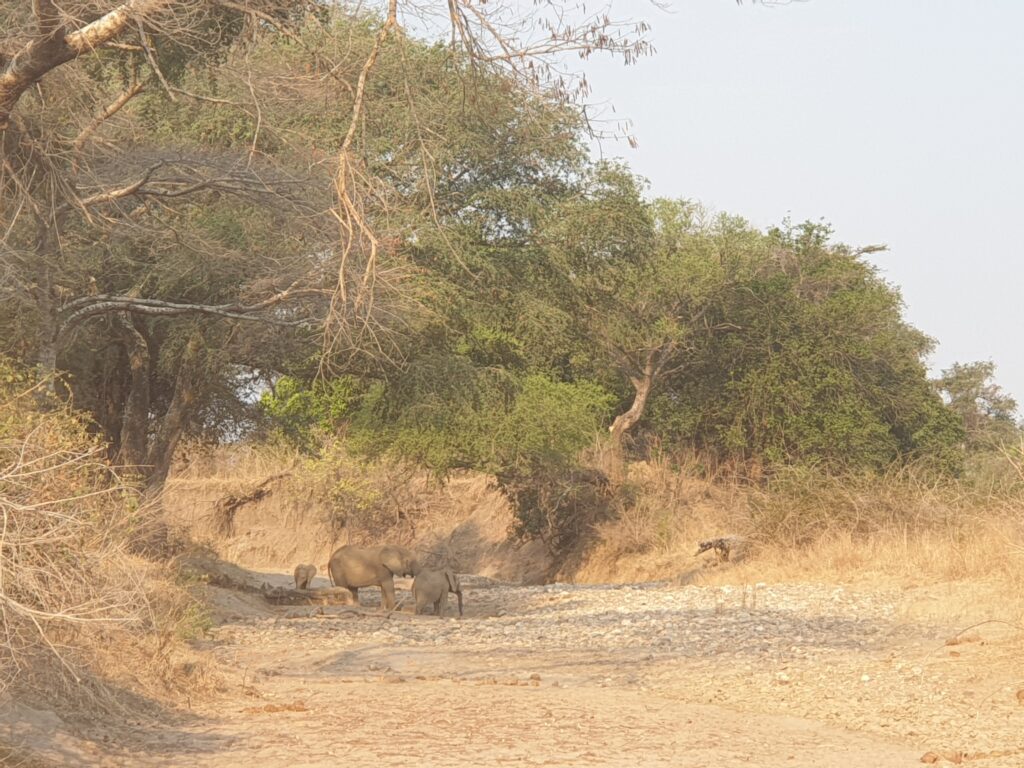
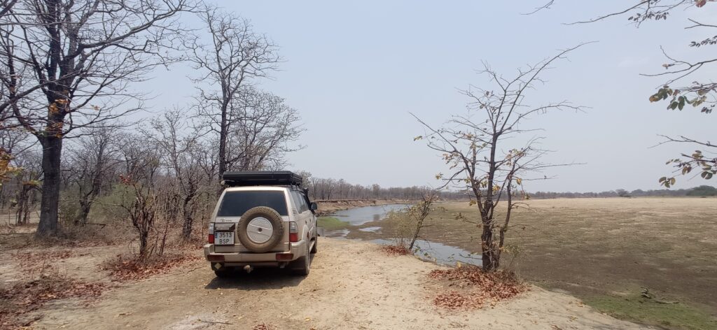
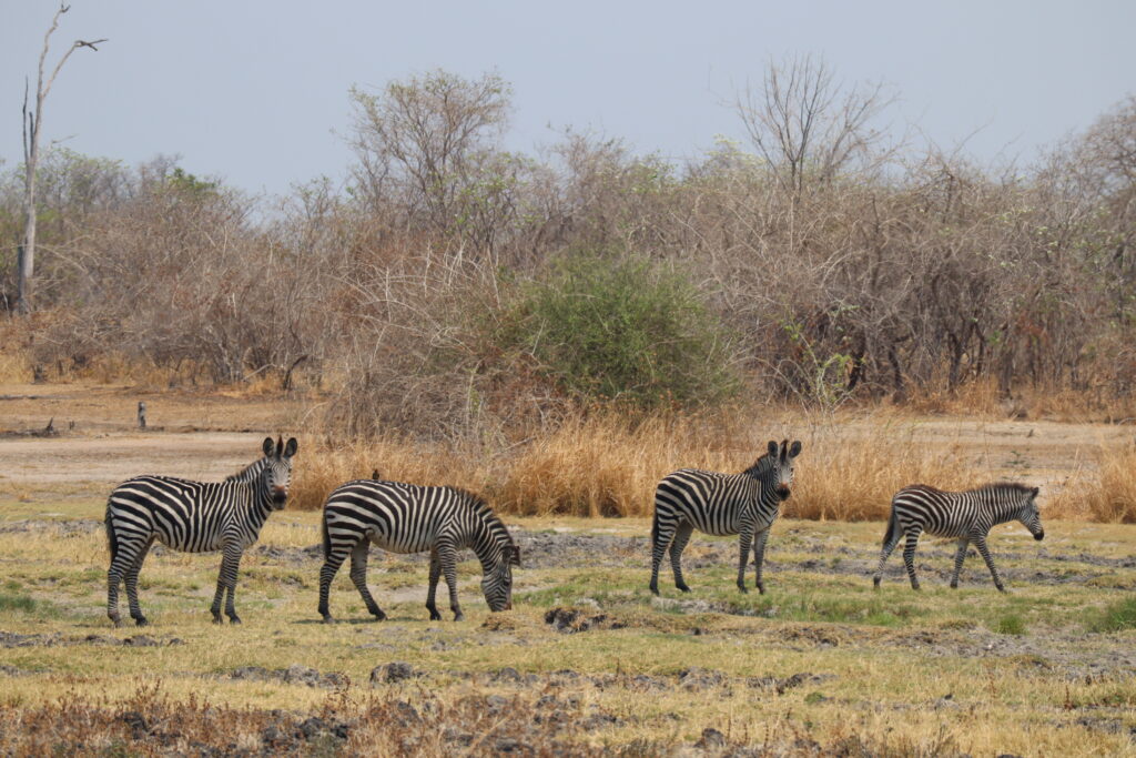
North Luangwa NP is a park with a large area of land (4.636 square kilometers). During our drive in this park, we crossed different dry rivers and passed through mountain landscapes where we saw a small group of elephants, zebras and antelopes. The journey from the Mano entrance gate to the exit gate that is just after the Luangwa River crossing is about 70 kilometers, where you will pass by the Marula Airstrip and also through a checkpoint where your tires will be disinfected. You will have to follow the indications that take you to the pontoon, and there you will cross the Luangwa River through a wooden platform where a person will drag you with a rope until you reach the other side of the river.
Once you have crossed the Luangwa River, you will be at the exit of the park and there you will have to pay the entrance fee. This costs 25$ per person and 15$ for the vehicle. Even if you are in traffic, they make you pay the entrance anyway. Right at the exit of the park, you have different accommodation options such as Chifunda Bushcamp, among others.
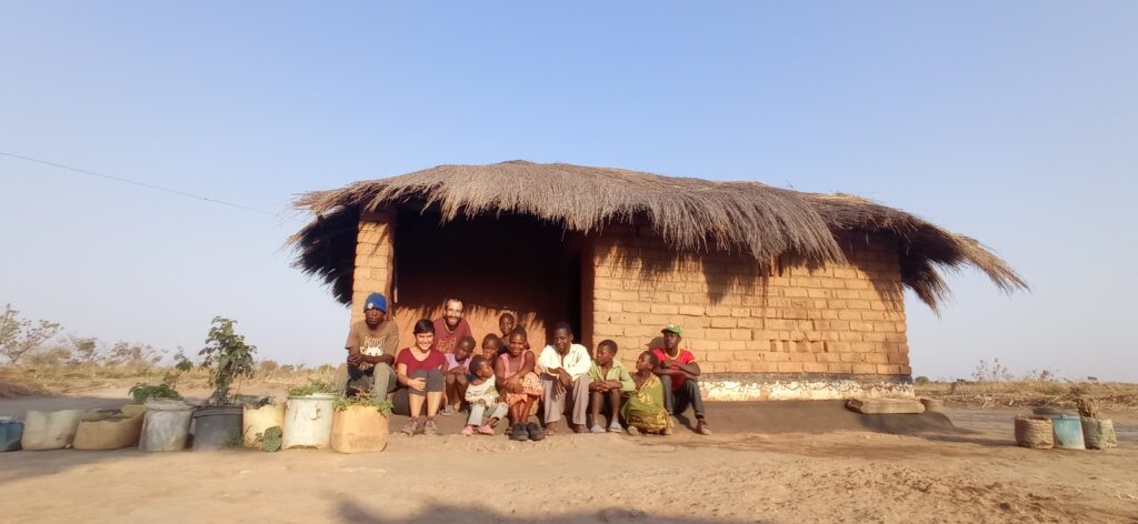
We slept with a family just after the Tanzanian border, and then it took us a whole day to cross to the North Luangwa exit, where we slept after crossing a beautiful landscape park but with little presence of animals.
Luambe NP
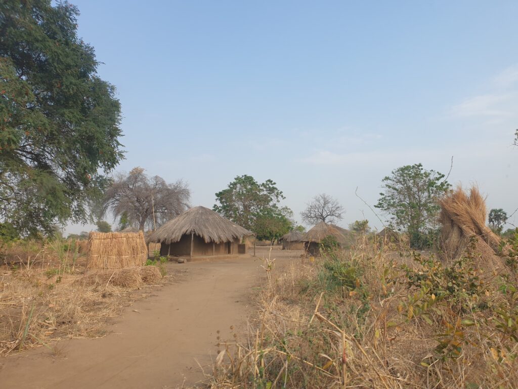
The next day, once we crossed North Luangwa NP, we continued our route to South Luangwa. We had already achieved the most difficult part (it was to cross the river), so we had to drive all day until arriving in the afternoon at Kakumbi, the entrance town to South Luangwa national park. On the way, we passed through different very beautiful traditional villages, where people came out to greet you as you passed by with the car, and you crossed dirt roads and very authentic circular mud houses.
The first part of the journey was to reach the main road that goes in the direction of Kakumbi. For this reason, we first arrived at Chifunda passing through what looked like a forest enchanted by its arrangement of trees. In Chifunda, we took the RD105 road that went down to Chama and that we would not leave until we reached the main road. This part stands out for sandy roads, in the middle of towns and many dry river crossings until we reach the town of Chitungulu, which is where we find the main road in the direction of South Luangwa. The entirety of this first part of the journey is about 105 kilometers.
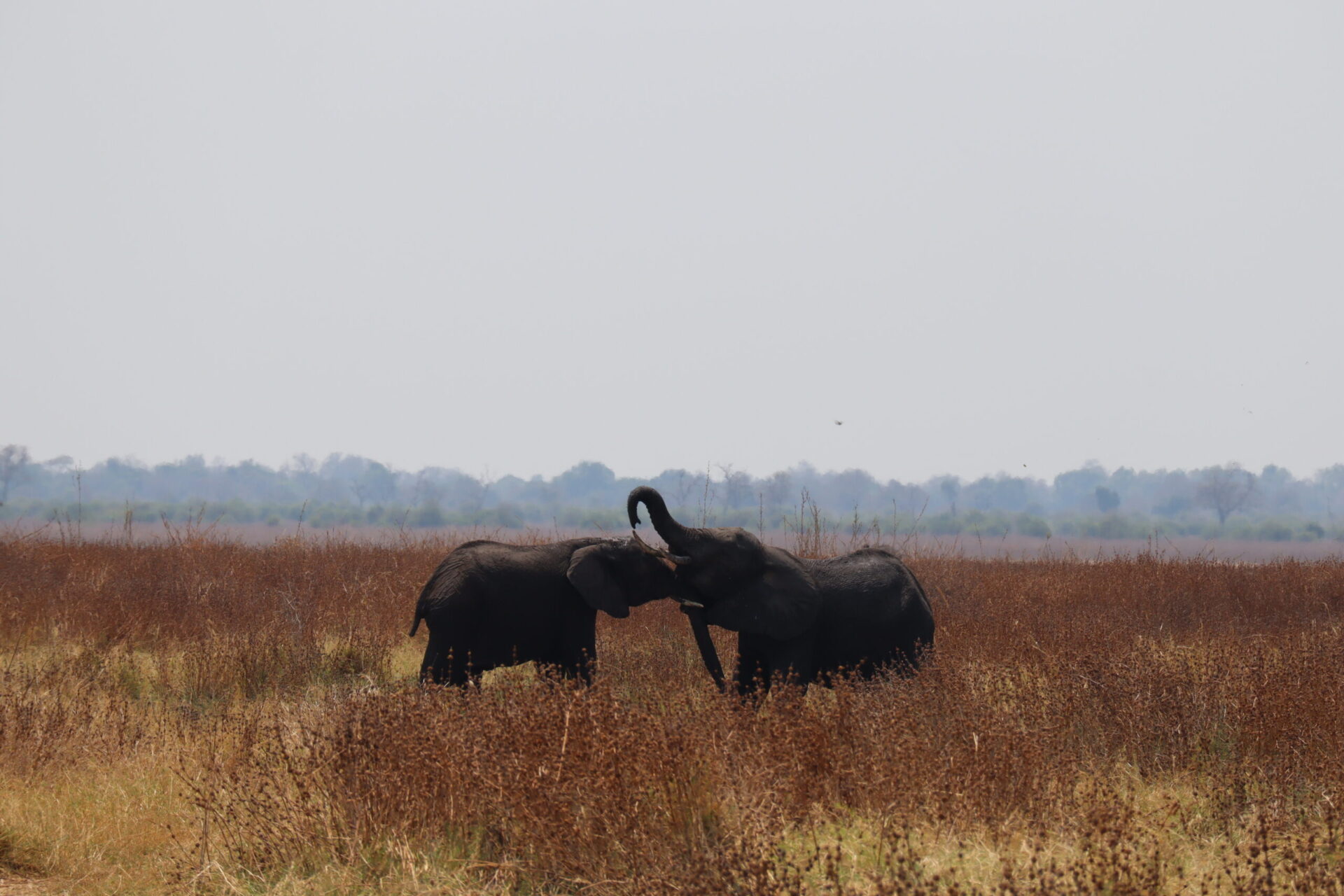
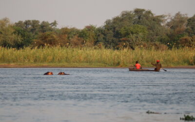
The second part of the journey consists of crossing the Luambe National Park, whose entrance gate is located about 9 kilometers from Chitungulu following the D104. There, you will have to register but being in traffic you will not have to pay any entrance fee. It is free and you will be driving along the line of the Luangwa River. Along the way, you will be able to find some elephants and also antelopes, and stop to photograph the river and see different fishermen. The total journey inside the Luambe NP is 25 kilometers.
Nsefu Reserve
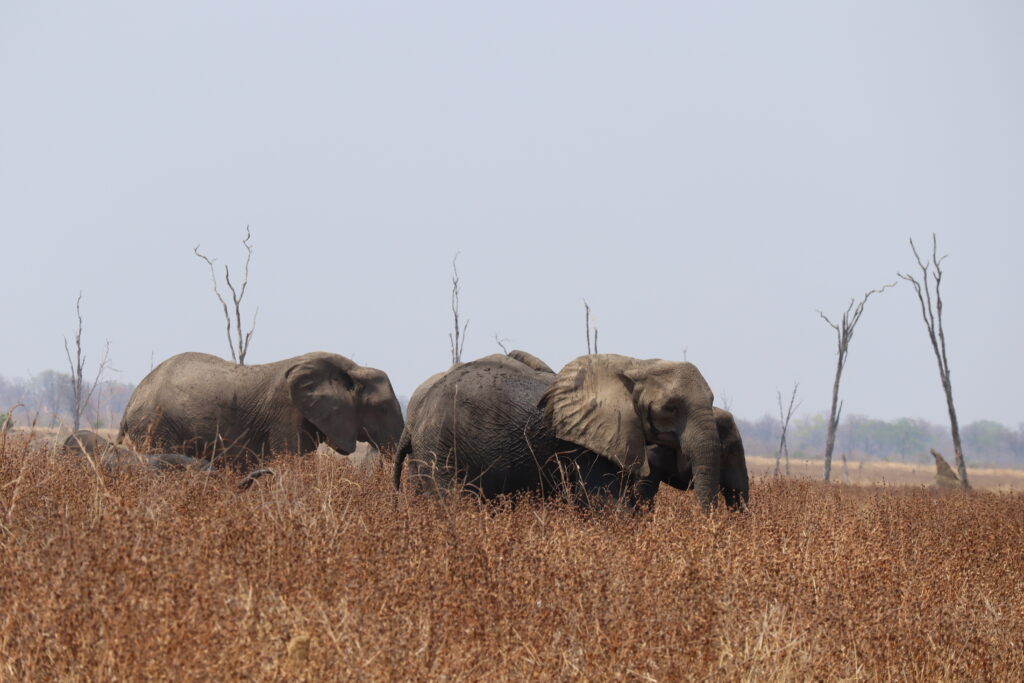
Finally, the last part of all this way to get to South Luangwa from the north of the country is to cross the Nsefu reserve. This is located following the same road that we had used to cross the Luambe NP (D104). To get to the front door, you will have to drive about 40 kilometers from the Luambe exit door. Afterwards, you will cross the reserve for about 25 kilometers where we saw a large herd of elephants, antelopes and zebras. It is a highly recommended reserve to drive and as we were in transit, the entrance was also free.
From the exit gate of Nsefu to Kakumbi, the main gate of South Luangwa, there will be about 20 kilometers where you will begin to find much more population and some roads in good condition. In Kakumbi, you will find a petrol station where you can fill your tank after more than 500 kilometers traveled and more than a day of driving.
With this route, you will be able to cross the entire eastern area of the country from north to south without having to take a long walk and enjoying different national parks that, although they have little presence of animals, are beautiful to do with your own car. Now, you will have been able to reach South Luangwa NP, where you can enjoy one of the most beautiful parks in South Africa. If you want to read more about our experience in this park, you can click here.

0 Comments