


Waterberg Plateau is a natural park in Namibia located halfway between the capital Windhoek and the Etosha NP. It is called like this, because the main attraction of the park is its characteristic mountain, a plateau 50 km long and 16 km wide. Some call it the Kalahari Table Mountain. Very interesting from a geological point of view, the oldest strata are more than 850 million years old!
The region suffered one of the most famous battles during 1904, between German colonial forces and the Herero people. Later, the Hereros would leave the land with their flocks to the Kalahari Desert where more than two-thirds of their population died from the harsh conditions. Near the park, there is a cemetery where you can still see some graves of German soldiers who died during this battle. In 1907, Waterberg was declared a game reserve, but was abolished in 1928, making the park one of the main citrus production areas in the country. It was not until 1972 that it was proclaimed a country’s national park.
There is a great variety of flora and fauna, among which stand out: the Eland, the giraffes, the Sable antelope, the buffalo, the rhino… Also in the same campsite you can see baboons, warthogs, mongooses… Waterberg is a paradise for bird lovers: there are more than 200 species registered. Highlights include birds of prey, peregrine falcons (it is the most densely populated park in Africa), vulture…
Admission to the park costs 80 NAD.
How to get there?
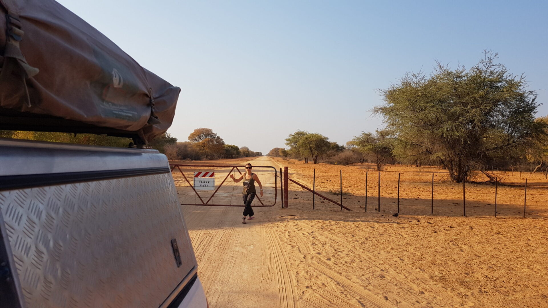
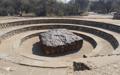
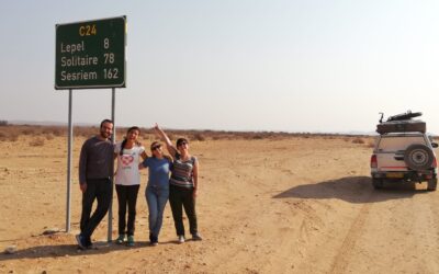
The Waterberg Plateau is located 300 kilometers northeast of Windhoek (3 and a half hours) and 320 kilometers southwest of the Etosha NP (about 4 hours). The easiest way to get there is from the town of Otjiwarongo, where you have to follow the direction of Windhoek on the B1 until you reach the C22 junction. Once you take this road, you will have to turn back to the D2512 which will take you to the park entrance. If you come from the east as we did (we had just visited the Hoba meteorite), you have to go down to the B8 road junction between Otavi and Grootfontein and go straight on the D2512 which crosses different farms and is less crowded than the another option.

Where to sleep?
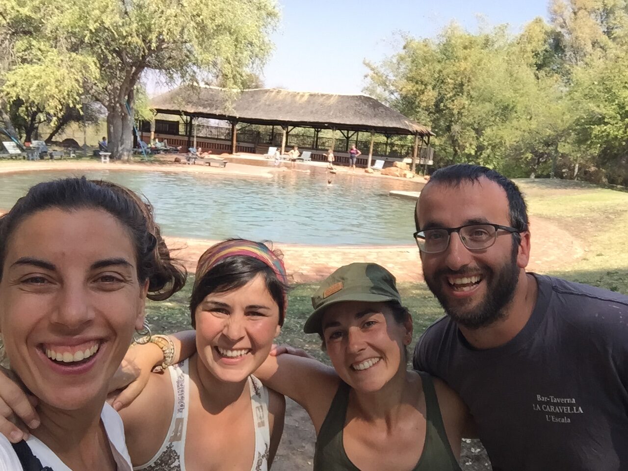
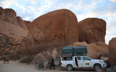
The park itself has a camp, the Waterberg Plateau Campsite, with quite a shaded camping area and an electrical connection to each camp. It is clean and with toilets in good condition. It cost us about 202 NAD / pers. It has a restaurant where we ate very well.
It also has a pool, where you can take a dip after the walking routes and the sweat of the climb!
Things to do in Waterberg Plateau
There are different possible activities, some paid and some free:
– Rhino Drive: is a special safari where with a park car with driver you can go see if you are lucky and see rhinos. It lasts between 2-3 hours in the afternoon.
– Rhino Tracking: it’s a 3-4 hour walk through the park to see rhinos as well.
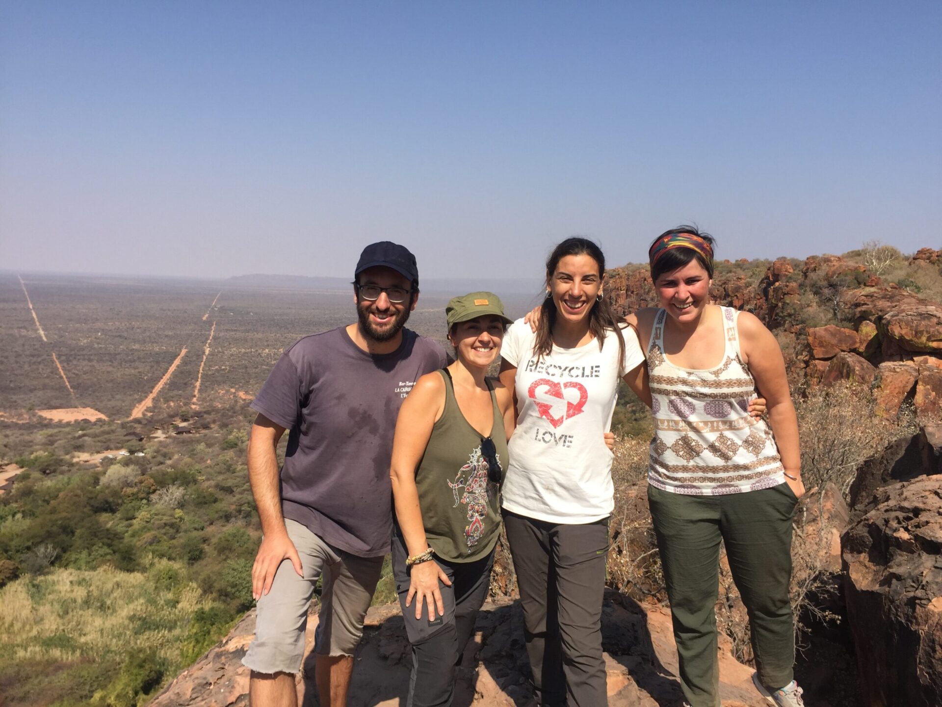
– Plateau Hike: is a walking route to the top of the plateau (200 m high). A guide can be hired at the park entrance to do so, but it can also be done freely. We opted for this second free option, and we really liked it. There are different possible routes between one and five kilometers, and you can also link a few. It’s easy to make them. Ask for a route map in your accommodation. From above you can see the whole plain and there are stunning views! It takes about 25-45 minutes to climb to the top, depending on your desire and energy. The paths are marked with painted footprints along the way.

0 Comments